This section covers the origins and initial developments of the subject. It stands for Space and Atmosphere Research Commission. SUPARCO is Pakistan’s national space agency. It was established in 1961 on the advice of Noble Laureate Dr Abdus Salam after the USSR launched the artificial satellite Sputnik-1 in 1957. At that time, Dr. Abdus Salam was the scientific advisor of the President of Pakistan.
Responsibilities of Suparco:
The main duty of Suparco is to enhance Pakistan’s achievements in satellite technology and to conduct space, atmosphere, and remote sensing studies. Suparco plays a crucial role in peaceful applications of space technologies, weather forecasting, natural resources management, security, and disaster monitoring.
Type of Satellite launched by Pakistan:
- Communication Satellites: PAKSAT-1, PAKSAT-1R
- Remote Sensing Satellites: PRSS-1, PakTES-1A
- Experimental Satellites: Badr-A, Badr-B
- Weather and Climate Monitoring Satellites: PRSS-1 and PakTES-1A (dual use)
-
Early Satellite Programs of SUPARCO Pakistan:
Suparco successfully several satellites for Pakistan, Let’s deep dive into the space contribution of Pakistan:

-
Rehbar-I:
Rehber-I was the first satellite launched by Pakistan with the collaboration of NASA on 7th June 1962. This made Pakistan the world’s 10th and South Asian first country to successfully launch a satellite:
Launch Location: Sonmiani, Province Balochistan, Pakistan.
Type: Sounding Rocket
Design: Designed for upper atmospheric research.
Altitude: Approximately 130 kilometers into the atmosphere
Purpose:
There are the following purposes of the Rehber-I mission:
- Scientific Study of the atmosphere (specifically upper).
- Development of Rocket Technology.
- Capacity building in Space science.
-
Badr Mission Series of Suparco:
-
Badr-1:
Badr-I was launched on the 16th of July 1990. It was launched by China along with Long March 2E Rocket. It was Pakistan’s first digital communication and store and forward satellite. Lost contact after 35 days due to power system failure.
weight: 52 kg
Purposes:
The purpose of the Badr-A satellite was:
- Improved Space technology.
- Testing Telemetry.
- Tracking
- Control (TT & C) systems.
-
Badr-B
Badr satellite B was launched on 11th December 2001. It is similar to the Badr-A satellite. It is more powerful, stable and longtivity than Badr-A . The duration of this mission is about 5 years.
weight: 68.5 kg
Purpose:
The purpose of the Badr-B was:
- Aim to collect more precise environmental data.
- Remote Sensing
- Communication
- Research
-
Communication Satellites:

It was launched in 2002 in the geosynchronous orbit. It was failed or retired in 2011.
weight:3,000 kg
Purpose:
The purpose of PAKSAT-I is to provide the following services:
- Broadband internet connection
- Telecommunications
- Broadcast services
- Data Transmission
-
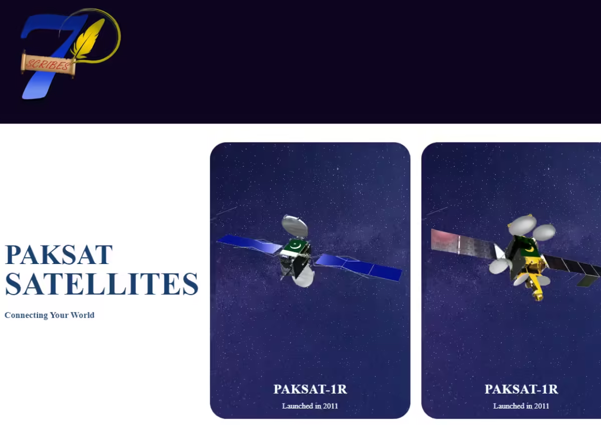
PAKSAT-1R:
It was launched on 11th August 2011. It replaces the PAKSAT-I. It was an advanced geostationary satellite jointly developed by Pakistan and China. It was sent into space along the Long March 3B rocket of China.
It provides C-band and Ku-band services for a wide range of applications.
weight: 5,515 kg
Purpose:
- Telecommunication
- Digital Television Broadcasting
- Broadband internet access
- VSAT networks across Pakistan, South Asia, and the Middle East.
The lifetime or expected duration of PAKSATR is 15 years.
-
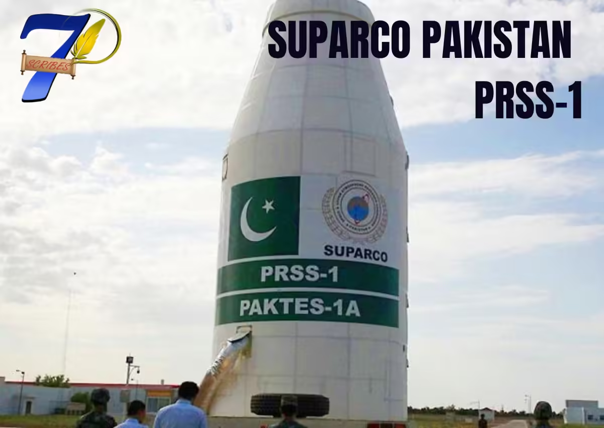
PRSS-1 (Pakistan Remote Sensing Satellite-1):
It was launched on 9th July 2018. It is Pakistan’s first remote sensing satellite launched by China along with the Long March 2C Rocket.
weight: 300kg
Designed for:
It was designed for:
- Earth Observation
- Agriculture
- Disaster Management
- Environmental Monitoring
- Urban Planning
- Resources allocation
- Geological mapping
Allow detailed imagery of the earth for various developments and scientific studies.
Resolution: 1-meter panchromatic resolution and 4-meter multispectral resolution.
-
PAKTES-1A
It was launched on 9th July 2018 along with PRSS-1. It is a Low Earth Orbit Remote Sensing Satellite. It was designed by Suparco Pakistan.
weight: 300kg
Purpose:
- Earth Observation
- Agriculture
- Disaster Management
- Environmental Monitoring
Its duration is 3 years.
5. Moon Missions:
Pakistan also worked on its moon mission aiming to send astronauts to space. The early moon missions are as:
-
ICUBE-1:
The iCube-1 is Pakistan’s first moon mission, developed by Suparco Pakistan in collaboration with the Institute of Space Technology (IST). It was the entry of the country in the field of nanotechnology satellites.
Weight: 1kg
Date: 6th December 2013.
Launch Vehicle: Dnepr rocket from the Yasny launch base in Russia.
Type: 1U CubeSat
Mission Type:
- Technology Demonstration
- Research
- and Education.
-
ICUBE-Q:
the detail of iCUBE-Q are:
- Type: Nanosatellite (CubeSat, likely 1U or 3U)
- Dimensions: 10 cm x 10 cm x 10 cm (1U) or 10 cm x 10 cm x 30 cm (3U)
- Mass: ~1-4 kg
- Power: Solar panels, 2-5 watts
- Communication: VHF/UHF, data rate of 1200 baud or higher
- Payload: Camera for Earth observation, scientific sensors (temperature, pressure)
- Orbit: Low Earth Orbit (LEO), 400-700 km altitude
- Objective: Advance communication, Earth observation, scientific research
- Launch: Likely via international partnership (ISRO, etc.)
- Lifespan: 6 months to 2 years


Leave a Comment
Your email address will not be published. Required fields are marked *
No Comments Yet
Be the first to share your thoughts!